…
World
Persistent drought: elevated forest fire risk in Rhineland-Palatinate and Saarland
Herz — World Desk · · 30s summary · 2 min read
The essentials
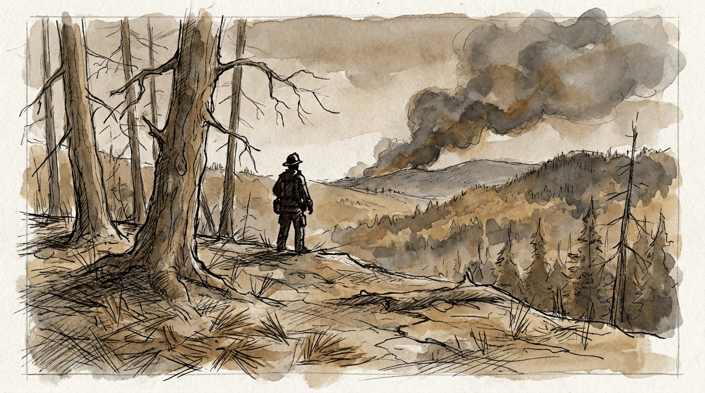
Persistent drought maintains elevated forest fire risk in Rhineland-Palatinate and Saarland, Germany. According to the Deutscher Wetterdienst (DWD), Germany's national meteorological service, both states show at least level 3 out of 5 on the Waldbrandgefahrenindex—the national forest fire danger index—on July 13, 2026. Saarland, the Palatinate, and the Eifel have already reached level 4. Starting July 14, this level 4 is expected to extend to nearly all of Rhineland-Palatinate. A forest fire broke out on June 27 at Rotenfels, forcing the complete evacuation of the village of Traisen.
- Minimum level 3 out of 5 across all Rhineland-Palatinate and Saarland on July 13, 2026
- Level 4 (high danger) already reached in Saarland, the Palatinate, and the Eifel
- Level 4 expected to expand across nearly all Rhineland-Palatinate from July 14, 2026
- June 27 fire at Rotenfels: munition-contaminated area, village of Traisen evacuated
- Ongoing drought fuels elevated risk across both German states
What we know
Persistent drought places all of Rhineland-Palatinate and Saarland under significant forest fire danger. On July 13, 2026, the DWD (Deutscher Wetterdienst, Germany's national meteorological service under the supervision of the Federal Ministry of Transport, headquartered in Offenbach am Main) records at least level 3 out of 5 on the Waldbrandgefahrenindex across both states.
The Waldbrandgefahrenindex is the forest fire danger index published daily by the DWD on a scale from 1 (very low) to 5 (very high). It incorporates forest soil dryness, temperature, and air humidity. Starting from level 3, reinforced preventive measures apply.
In several areas, the situation is already more critical: Saarland, the Palatinate (Pfalz), and the Eifel display level 4, corresponding to high danger.
Starting Tuesday, July 14, 2026, level 4 is expected to extend to nearly all of Rhineland-Palatinate. Only a few isolated areas would remain at level 3.
Rhineland-Palatinate (isolated areas)3
Saarland4
Palatinate (Pfalz)4
Eifel4
Context: a recent fire in a munition-contaminated area
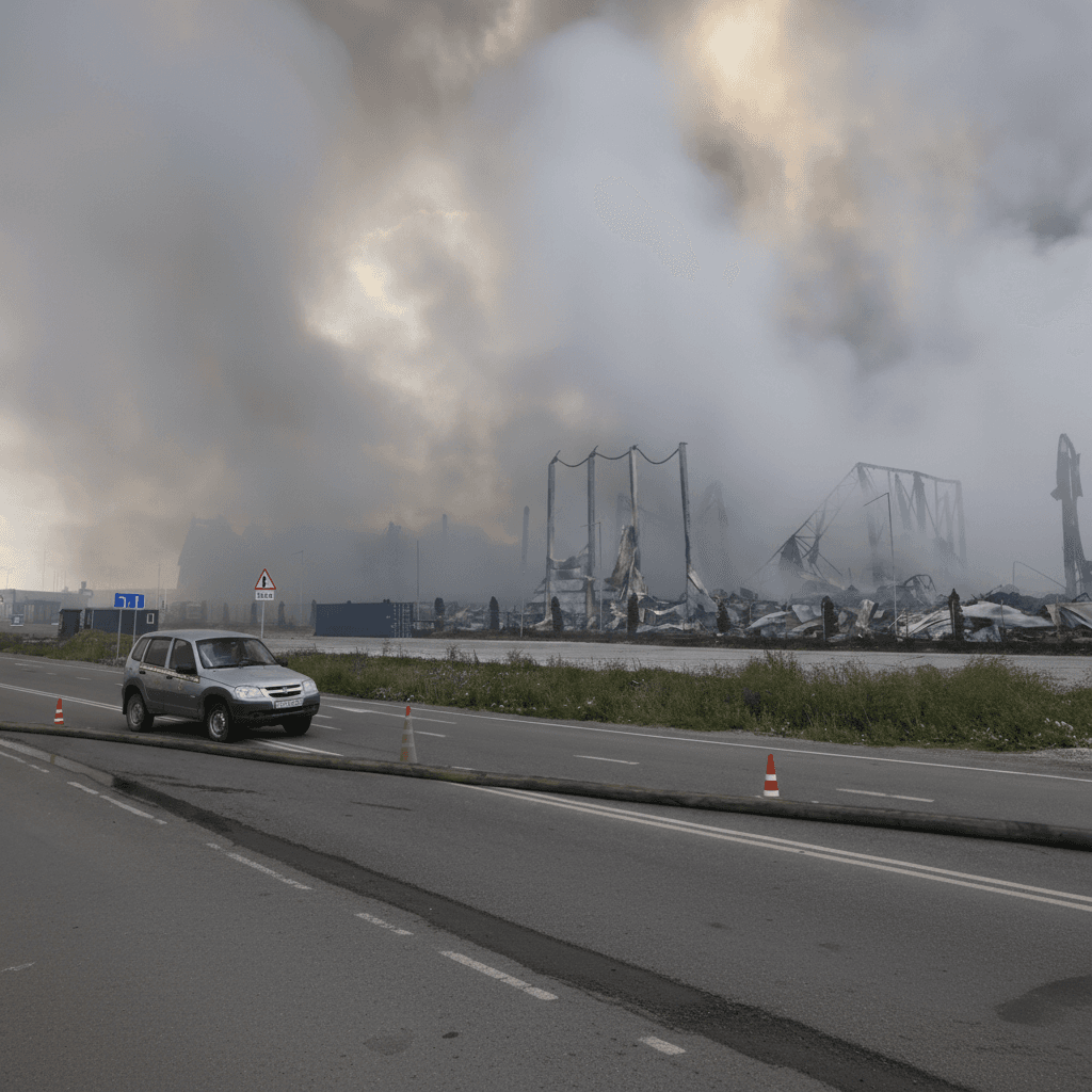
On June 27, 2026, a forest fire broke out at Rotenfels, near Bad Kreuznach, in Rhineland-Palatinate. The forest area involved is partially inaccessible and contaminated with unexploded ordnance—a legacy of 20th-century conflicts—making any rescue operations particularly dangerous.
Related articles


Latest articles


The illustrations in this article are generated by artificial intelligence.
Comments
No comments yet. Be the first to react.