…
World
Australian divers map underwater caves in 3D using photogrammetry
Herz — World Desk · · 30s summary · 3 min read
The essentials
Divers from the Soggy Wombats team, led by Will Passos, use photogrammetry—a technique that generates 3D models from photo series—to map the underwater caves of the Limestone Coast, a region in South Australia. The models make it possible to visualize galleries beneath Mount Gambier's streets and led to the discovery of a previously unknown extension of Pines Cave near Tantanoola. The maps are accessible on the website of the Cave Divers Association of Australia, an association of Australian cave divers.
- Will Passos and the Soggy Wombats team model 3D underwater caves of Mount Gambier
- A four-camera rig and photogrammetry replace decades of manual surveys
- A scan revealed a previously unknown extension of Pines Cave near Tantanoola
- The technique could be applied to unmapped caves worldwide
What we know
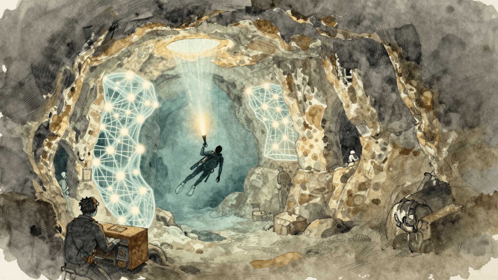
Will Passos, an experienced cave diver, leads the Soggy Wombats dive team in a project to create 3D maps of the underwater caves on South Australia's Limestone Coast, centered on Mount Gambier. According to ABC News, the method is based on photogrammetry, a technique that generates a textured 3D model from a set of photographs processed by software.
For each dive, Passos deploys a rig with four action cameras, each taking one photo per second, combined with multiple light sources. This configuration was refined after an initial unsuccessful trial at Allendale East, conducted with a single large camera and insufficient lighting.
The caves already modeled include Pines Cave, Iddlebiddy Cave, and Engelbrecht Cave, located in the heart of Mount Gambier. These models can be overlaid on street maps, making it visible how the underground galleries pass beneath homes and public roads.
A discovery enabled by digital technology
The 3D modeling led to a concrete discovery: an anomaly detected in the Pines Cave scan near Tantanoola guided divers to a previously unexplored area, revealing an unknown extension of the cave.
Before digital: fifty years of manual surveys
Ian Lewis, a hydrogeologist from Mount Gambier and cave diver for about 50 years, describes the earliest mappings of these caves as "primitive": measuring tapes, underwater compasses, pencil notes on waterproof paper, then manual transfer to graph paper.
These pioneering efforts had been driven by fatal accidents that occurred in the region.
Accessible maps and global potential
The maps produced are actively used by divers and available on the website of the Cave Divers Association of Australia, an association of Australian cave divers.
Passos believes that underwater photogrammetry could be exported globally to map caves that have not yet been documented. He observes a growing trend in this direction among cave divers worldwide.
Public distribution of these models—in the form of animations or videos—remains limited by file sizes and associated costs.
What remains uncertain
The total number of caves mapped to date and the precise timeline of the project are not indicated in the available information. The detailed description of the Cave Divers Association of Australia could not be independently verified beyond what its name indicates.
Frequently asked questions
What is photogrammetry?
It is a technique that generates a textured 3D model from a set of photographs. In this project, thousands of images taken while diving are processed by software to reconstruct the caves in three dimensions.
Topics
Related articles


Latest articles



The illustrations in this article are generated by artificial intelligence.
Comments
No comments yet. Be the first to react.