…
World
Australia: Neighbours create 40-hectare wildlife corridor linking two national parks
Herz — World Desk · · 30s summary · 3 min read
The essentials
Residents of Kurrajong Heights in the Hawkesbury region northwest of Sydney have established a 40-hectare wildlife corridor connecting Wollemi and Blue Mountains national parks. The initiative, formalized through a Land for Wildlife assistance programme, responds to devastation from the 2019–2020 bushfires and growing urbanization pressure. Two neighbouring development projects—including a 126-hectare Island Oasis resort—are raising concerns among residents about the survival of koalas and other wildlife.
- A 40-hectare corridor links Wollemi and Blue Mountains national parks at Kurrajong Heights.
- Polly Bennett's property accounts for 30 of the 40 hectares in the corridor.
- The 2019–2020 bushfires motivated the initiative to protect displaced wildlife.
- Island Oasis, a 126-hectare resort project, is under state-level assessment nearby.
- Council cannot revoke a permit if the developer complies with its conditions.
What we know
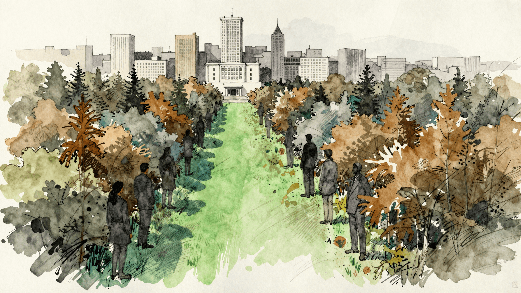
Residents of Kurrajong Heights in the Hawkesbury region northwest of Sydney have created a 40-hectare wildlife corridor connecting Wollemi and Blue Mountains national parks, according to the ABC.
The corridor was formalized through an agreement with the Land for Wildlife programme—an initiative that assists landowners in conserving their land—operated by the Community Environment Network.
Polly Bennett's property, covered with Sydney turpentine-ironbark forest, accounts for 30 of the 40 hectares in the corridor.
Context: The 2019–2020 bushfires as catalyst
The corridor's creation was driven by the 2019–2020 bushfires, which devastated wildlife—gang-gang cockatoos, koalas, and wallabies—on the property of resident Lesley Hulbert.
Growing urbanization around Sydney's fringe also spurred neighbours to formalize their conservation effort.
Two development projects raise concerns
Five minutes from the corridor, a 40-hectare residential project recently felled habitat trees to create eight residential lots. Its building permit was approved in 2010 with a koala habitat assessment concluding that koalas were absent from the site.
The "Island Oasis" tourism project of 126 hectares, led by developer Merc, is currently undergoing state-level assessment in New South Wales. It plans to establish a 100-metre buffer zone around its entire perimeter. Its original permit was granted by council in 1989.
Planning consultancy PPD Planning Consultants argues that the 1989 permit remains valid: sufficient physical works have been completed on the access road, meeting a permit condition.
Hawkesbury City Council stated it is developing a koala management strategy, including mapping established colonies and potential habitat zones. It stressed it cannot revoke a building permit if the developer acts within its authorized scope.
Residents have recently spotted koalas in trees near the Island Oasis project. Resident Stephanie Clay, who has lived in the area for seven years, maintains that the zone has been recognized as koala habitat since at least 2008.
The numbers
40 hectares
Total area of wildlife corridor created by neighbours
30 hectares
Portion of corridor owned by Polly Bennett
126 hectares
Topics
Related articles


Latest articles


The illustrations in this article are generated by artificial intelligence.
Comments
No comments yet. Be the first to react.